
County outline
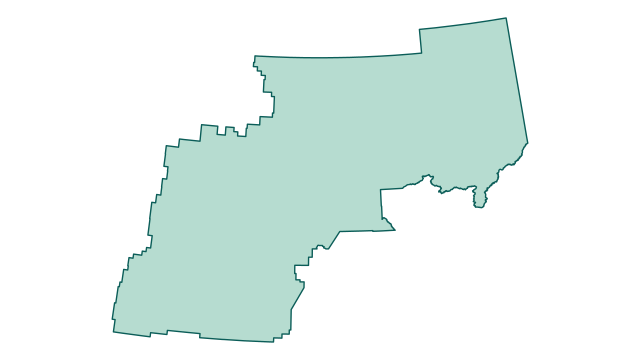
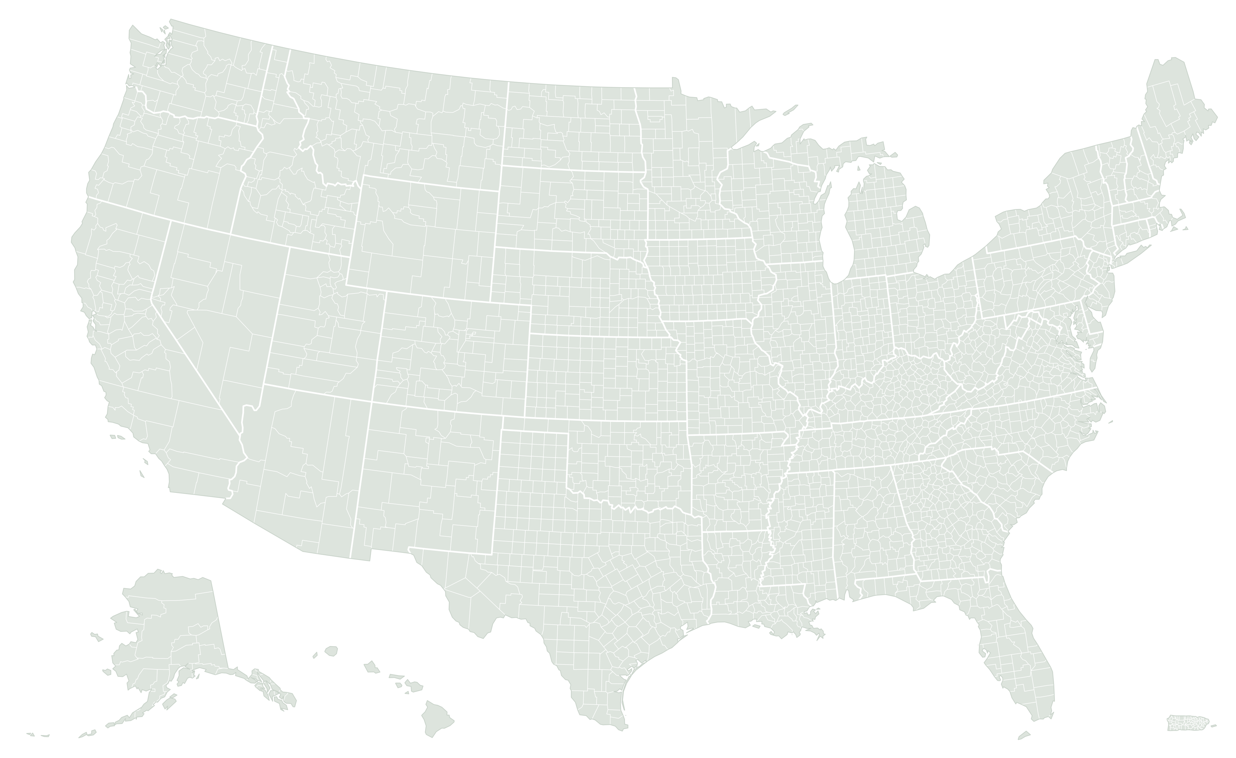
Where Yukon-Koyukuk Census Area is located
Area breakdown
Land accounts for 98.6% of Yukon-Koyukuk Census Area’s measured area and water for 1.4%. Its combined area converts to 383,002.7 square kilometers or approximately 94,642,017 acres.
Green: land · blue: water
| Measurement | Square miles | Square kilometers | Acres |
|---|---|---|---|
| Land | 145,767.543 | 377,536.203 | 93,291,227.5 |
| Water | 2,110.609 | 5,466.452 | 1,350,789.8 |
| Total | 147,878.152 | 383,002.655 | 94,642,017.3 |
How Yukon-Koyukuk Census Area compares
By original Census land area, Yukon-Koyukuk Census Area ranks #1 of 30 in Alaska and #1 of 3,222 nationally. National rankings include the 50 states, District of Columbia, and Puerto Rico.
Its land area is 19.471 times the Alaska county-equivalent median of 7,486.4 square miles. It accounts for 25.5% of the combined county land area in the state.
See the complete Alaska ranking · What counts as a county equivalent?
What stands out about Yukon-Koyukuk Census Area?
Yukon-Koyukuk Census Area has more land than 3,221 of the other 3,221 county equivalents in the dataset.
A median is the middle county-equivalent measurement, not the average of the largest and smallest. All three bars use the same linear scale. Very small areas may appear as a thin sliver; the labels retain their values.
Does including water change its rank?
Using land plus water places Yukon-Koyukuk Census Area at #1 nationally by total area, the same position as its land rank. Changing the area definition does not change its position in this release.
Its water share is 1.4%, compared with a national county-equivalent median of 1.2% — 0.3 percentage points higher. This describes the statistical geography’s land/water mix, not flood exposure or developable land.
Closest positions in the national land ranking
These entries sit immediately beside Yukon-Koyukuk Census Area in the national ranking. They can be in different states and are not necessarily geographic neighbors.
| Land rank | County equivalent | Land mi² | Comparison |
|---|---|---|---|
| #1 | Yukon-Koyukuk Census Area, Alaska | 145,767.5 | This county |
| #2 | North Slope Borough, Alaska | 88,797.6 | Compare |
Calculated from the same Census release as the area table. Total-area order uses original ALAND + AWATER; water shares and chart labels use published square miles. Calculation details.
Representative coordinates
The Census internal point is 65.385921, -151.705183. It represents a location inside the geography; it is not necessarily the centroid or the address of a courthouse.
Source and precision
U.S. Census Bureau, 2026 Gazetteer Files, Counties. Original ALAND: 377,536,186,394 m²; AWATER: 5,466,451,895 m². Rankings use ALAND; exact ties use ascending GEOID. Tables preserve Census-published square miles to three decimals, with conversions based on those values.
Common questions
How many acres of land are in Yukon-Koyukuk Census Area?
The land measurement converts to approximately 93,291,228 acres. Including water, total area is approximately 94,642,017 acres. One square mile equals 640 acres.
Why might another source show a different area?
Check whether it reports land or total area, its Census vintage, and its rounding. Our guide explains how to reconcile county area figures.
Can this establish a property boundary?
No. Statistical measurements and generalized maps do not establish property lines. Consult the relevant local surveying or land-records authority.