
How big is your county?
Precise land and water measurements for 3,222 U.S. counties and county equivalents—converted, ranked and explained.
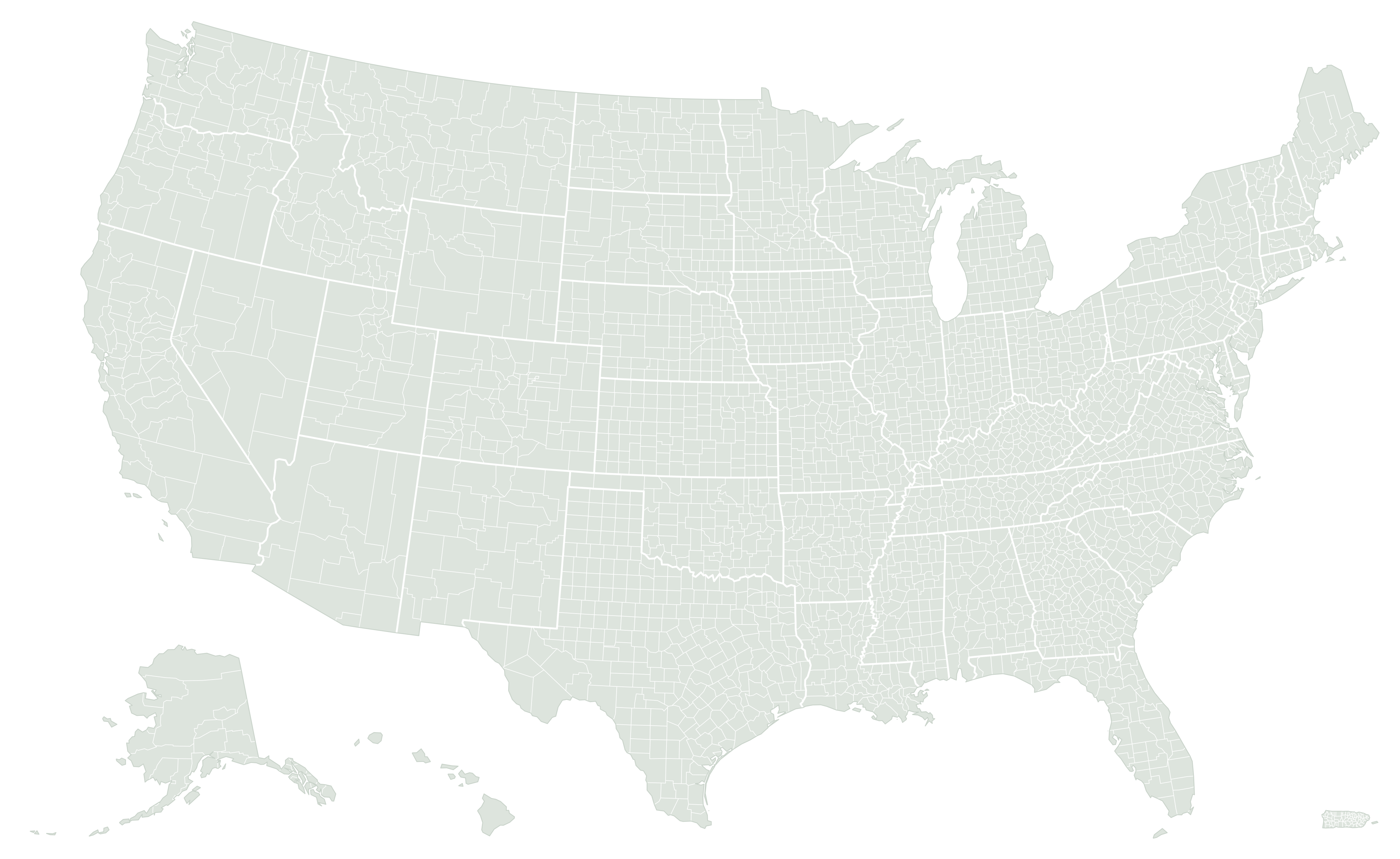
Yukon-Koyukuk Census Area, Alaska, has more land than 47 of the 50 states.
See the full measurement →All 3,222 county equivalents, equal-area projection. Alaska shown at 35% scale.
County facts with context
Every figure retains its Census GEOID, source vintage and measurement definition.
U.S. counties by the numbers
The typical U.S. county equivalent has about 604.5 square miles of land. The average is higher, at 1,097.8 square miles, because a small number of very large areas pulls it up: 9 of the 10 largest county equivalents are in Alaska. That makes the median the better answer to “how big is a normal county?”
Size also varies within states. Eastern states generally have smaller counties, many drawn long before the West was settled, while many Western counties cover thousands of square miles of mountains, desert, and public land. Each state directory shows its own range and median.
Largest and smallest counties
Largest by land area
| Rank | County equivalent | Land |
|---|---|---|
| 1 | Yukon-Koyukuk Census AreaAlaska | 145,767.5 mi² |
| 2 | North Slope BoroughAlaska | 88,797.6 mi² |
| 3 | Bethel Census AreaAlaska | 40,654.9 mi² |
| 4 | Northwest Arctic BoroughAlaska | 35,672.3 mi² |
| 5 | Southeast Fairbanks Census AreaAlaska | 24,839.3 mi² |
| 6 | Matanuska-Susitna BoroughAlaska | 24,703 mi² |
| 7 | Copper River Census AreaAlaska | 24,646.1 mi² |
| 8 | Lake and Peninsula BoroughAlaska | 23,896.5 mi² |
| 9 | Nome Census AreaAlaska | 22,969.9 mi² |
| 10 | San Bernardino CountyCalifornia | 20,068.4 mi² |
Smallest by land area
| Rank | County equivalent | Land |
|---|---|---|
| 1 | Falls Church cityVirginia | 2.05 mi² |
| 2 | Lexington cityVirginia | 2.50 mi² |
| 3 | Manassas Park cityVirginia | 3.03 mi² |
| 4 | Cataño MunicipioPuerto Rico | 4.83 mi² |
| 5 | Covington cityVirginia | 5.47 mi² |
| 6 | Fairfax cityVirginia | 6.24 mi² |
| 7 | Buena Vista cityVirginia | 6.44 mi² |
| 8 | Emporia cityVirginia | 6.63 mi² |
| 9 | Norton cityVirginia | 7.48 mi² |
| 10 | Colonial Heights cityVirginia | 7.52 mi² |
Yukon-Koyukuk Census Area, Alaska, has 71,245 times the land area of Falls Church city, Virginia. Outside Alaska, the largest is San Bernardino County, California, at 20,068.4 square miles, larger than several states. The smallest list is dominated by independent cities; the smallest entry actually named a county is Kalawao County, Hawaii, with 11.99 square miles of land. Why Alaska dominates · Why independent cities rank smallest
Not every county is called a county
| Type | Where | Count |
|---|---|---|
| Counties | 47 states | 2,999 |
| Louisiana parishes | Louisiana | 64 |
| Puerto Rico municipios | Puerto Rico | 78 |
| Independent cities | Maryland, Missouri, Nevada, Virginia | 41 |
| Alaska boroughs, census areas, and municipalities | Alaska | 30 |
| Connecticut planning regions | Connecticut | 9 |
| District of Columbia | District of Columbia | 1 |
The Census Bureau publishes statistics for county equivalents: the primary legal or statistical division below the state. Most are counties, but Louisiana uses parishes, Alaska uses boroughs and census areas, and Connecticut now reports nine planning regions in place of its former counties.
Independent cities in Virginia, Maryland, Missouri, and Nevada sit outside any county, so they are counted separately. Puerto Rico’s 78 municipios are included too, which is why this site covers 3,222 entries rather than the 3,144 found in the 50 states and the District of Columbia.
How many counties does each state have?
Texas has the most county equivalents, with 254, followed by Georgia (159), Virginia (133), and Kentucky (120). At the other end, Delaware (3), Rhode Island (5), and Hawaii (5) have the fewest; the District of Columbia is a single county equivalent. County counts reflect how each state divided itself, not how large it is: Alaska has the most land but only 30 county equivalents.
When a county is mostly water
Majority-water county equivalents
More than half of their Census total area is water, usually from lakes, bays, or coastal waters inside their boundaries.
Highest water share
Culebra Municipio, Puerto Rico has the largest share of water relative to its total area.
Most water area
Lake and Peninsula Borough, Alaska has the largest amount of water, a different question from the highest percentage.
Land area excludes water, while total area includes it, so the two can rank the same county very differently. Choose the right measurement · How a county can be mostly water
Quick answers about U.S. county size
How many counties are in the United States?
The 2026 Census Gazetteer lists 3,144 counties and county equivalents in the 50 states and the District of Columbia. Including Puerto Rico’s 78 municipios brings the total to 3,222.
What is the largest county in the U.S.?
By land area, it is Yukon-Koyukuk Census Area, Alaska, with 145,767.5 square miles. Outside Alaska, the largest is San Bernardino County, California, with 20,068.4 square miles.
What is the smallest county in the U.S.?
The smallest county equivalent by land is Falls Church city, Virginia, an independent city with 2.05 square miles. Among entries named “County,” the smallest is Kalawao County, Hawaii, at 11.99 square miles.
How big is an average county?
The median county equivalent has 604.5 square miles of land, and the mean is 1,097.8 square miles. The median is more representative because the largest Alaska areas raise the mean.
Which state has the most counties?
Texas, with 254 counties. Georgia is second with 159.
Why does another source show a different area for my county?
The most common reasons are comparing land with total area, using a different Census year, or rounding. Our reconciliation guide walks through each check.
Understand county geography
All guides →Why Alaska dominates the largest-county rankings
Measure Alaska’s effect on the top 100, compare its largest equivalent with San Bernardino, and see how the comparison changes outside Alaska.
Read guide →How a county can be mostly water
Explore Culebra, Keweenaw, and the difference between water percentage and water area through original county comparisons.
Read guide →The smallest counties reveal a different map of America
Investigate compact independent cities, compare Falls Church with traditional counties, and learn why jurisdiction type changes a ranking.
Read guide →The denominator that changes a population-density story
Work through land versus total area, combined-county averages, and geographic mismatches before calculating population density.
Read guide →Why county maps can fool your eye
Separate map scale, projection, and boundary detail with a worked size comparison and a practical checklist for reading county outlines.
Read guide →From county CSV to a trustworthy spreadsheet
A reproducible workflow for importing GEOIDs, checking measurements, calculating water share, and sorting exact county rankings.
Read guide →