
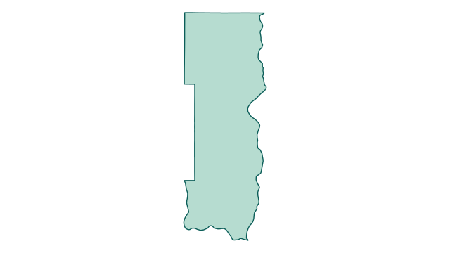
County outline
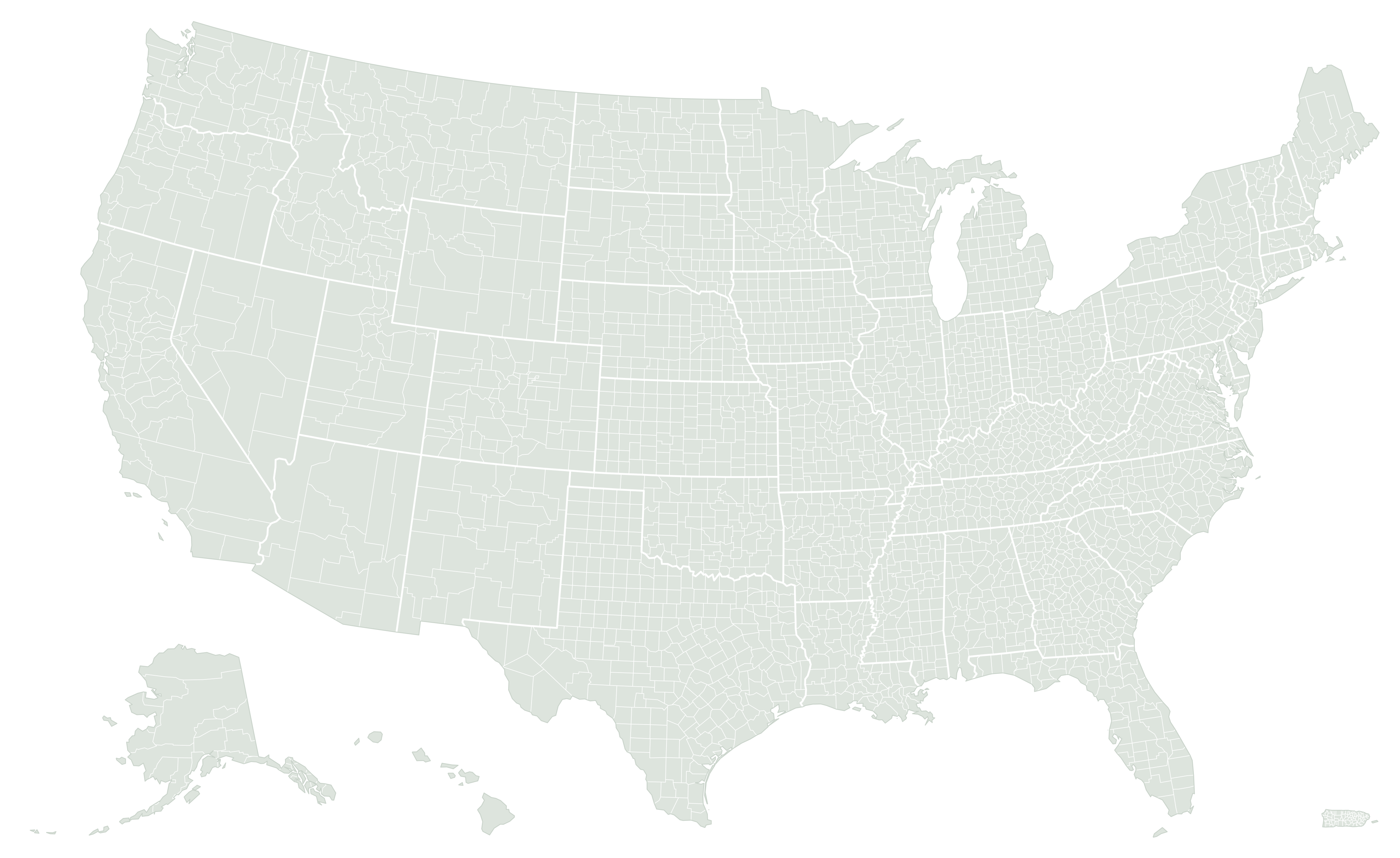
Where Washington County is located
Area breakdown
Land accounts for 90.9% of Washington County’s measured area and water for 9.1%. Its combined area converts to 1,096.4 square kilometers or approximately 270,918 acres.
Green: land · blue: water
| Measurement | Square miles | Square kilometers | Acres |
|---|---|---|---|
| Land | 384.762 | 996.529 | 246,247.7 |
| Water | 38.548 | 99.839 | 24,670.7 |
| Total | 423.31 | 1,096.368 | 270,918.4 |
How Washington County compares
By original Census land area, Washington County ranks #84 of 87 in Minnesota and #2586 of 3,222 nationally. National rankings include the 50 states, District of Columbia, and Puerto Rico.
Its land area is 0.57 times the Minnesota county-equivalent median of 674.6 square miles. It accounts for 0.5% of the combined county land area in the state.
See the complete Minnesota ranking · What counts as a county equivalent?
What stands out about Washington County?
Washington County has more land than 636 of the other 3,221 county equivalents in the dataset.
A median is the middle county-equivalent measurement, not the average of the largest and smallest. All three bars use the same linear scale. Very small areas may appear as a thin sliver; the labels retain their values.
Does including water change its rank?
Using land plus water places Washington County at #2,475 nationally by total area, 111 places closer to the top than its land rank. The water assigned to this geography moves it ahead of some county equivalents with more land.
Its water share is 9.1%, compared with a national county-equivalent median of 1.2% — 7.9 percentage points higher. This describes the statistical geography’s land/water mix, not flood exposure or developable land.
Closest positions in the national land ranking
These entries sit immediately beside Washington County in the national ranking. They can be in different states and are not necessarily geographic neighbors.
| Land rank | County equivalent | Land mi² | Comparison |
|---|---|---|---|
| #2585 | Calloway County, Kentucky | 384.9 | Compare |
| #2586 | Washington County, Minnesota | 384.8 | This county |
| #2587 | Geary County, Kansas | 384.7 | Compare |
Calculated from the same Census release as the area table. Total-area order uses original ALAND + AWATER; water shares and chart labels use published square miles. Calculation details.
Representative coordinates
The Census internal point is 45.047110, -92.893466. It represents a location inside the geography; it is not necessarily the centroid or the address of a courthouse.
Source and precision
U.S. Census Bureau, 2026 Gazetteer Files, Counties. Original ALAND: 996,530,229 m²; AWATER: 99,839,096 m². Rankings use ALAND; exact ties use ascending GEOID. Tables preserve Census-published square miles to three decimals, with conversions based on those values.
Common questions
How many acres of land are in Washington County?
The land measurement converts to approximately 246,248 acres. Including water, total area is approximately 270,918 acres. One square mile equals 640 acres.
Why might another source show a different area?
Check whether it reports land or total area, its Census vintage, and its rounding. Our guide explains how to reconcile county area figures.
Can this establish a property boundary?
No. Statistical measurements and generalized maps do not establish property lines. Consult the relevant local surveying or land-records authority.